Asia Worksheets (Free Printable Geography Activities)
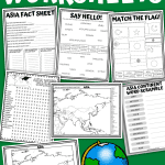

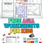
These Asia worksheets give kids a clear, hands-on way to learn about the continent through simple, printable geography activities.
The set includes a labeled map of Asia, a fact sheet, flag-matching activity, word search, word scramble, and a “say hello” languages worksheet, making it easy to mix reading, coloring, and problem-solving in one lesson.
Designed for upper elementary and middle school students, these geography worksheets work well for homeschool units, classroom lessons, or independent practice when you want structured learning without extra prep.
**This post may contain affiliate links. As an Amazon Associate and a participant in other affiliate programs, I earn a commission on qualifying purchases.**
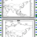
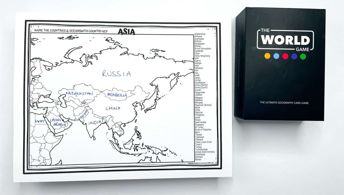
Map of Asia Worksheet
This map of Asia worksheet helps students practice identifying countries across the continent using a clear, printable layout.
The set includes two versions of the Asia map: one with country names listed for reference and one without labels for independent practice. Students can use the worksheet to label countries, color regions, or review locations during geography lessons.
For classroom consistency, the map includes 50 countries, reflecting common educational geography resources, even though some organizations list Asia differently. This allows flexibility depending on curriculum needs.
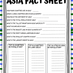
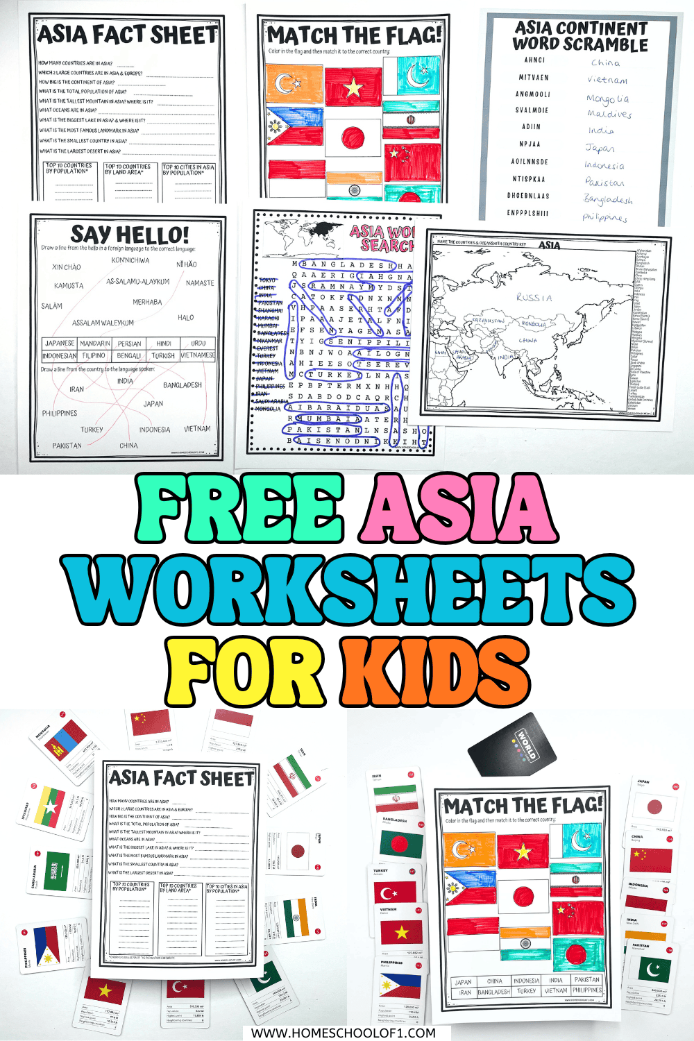
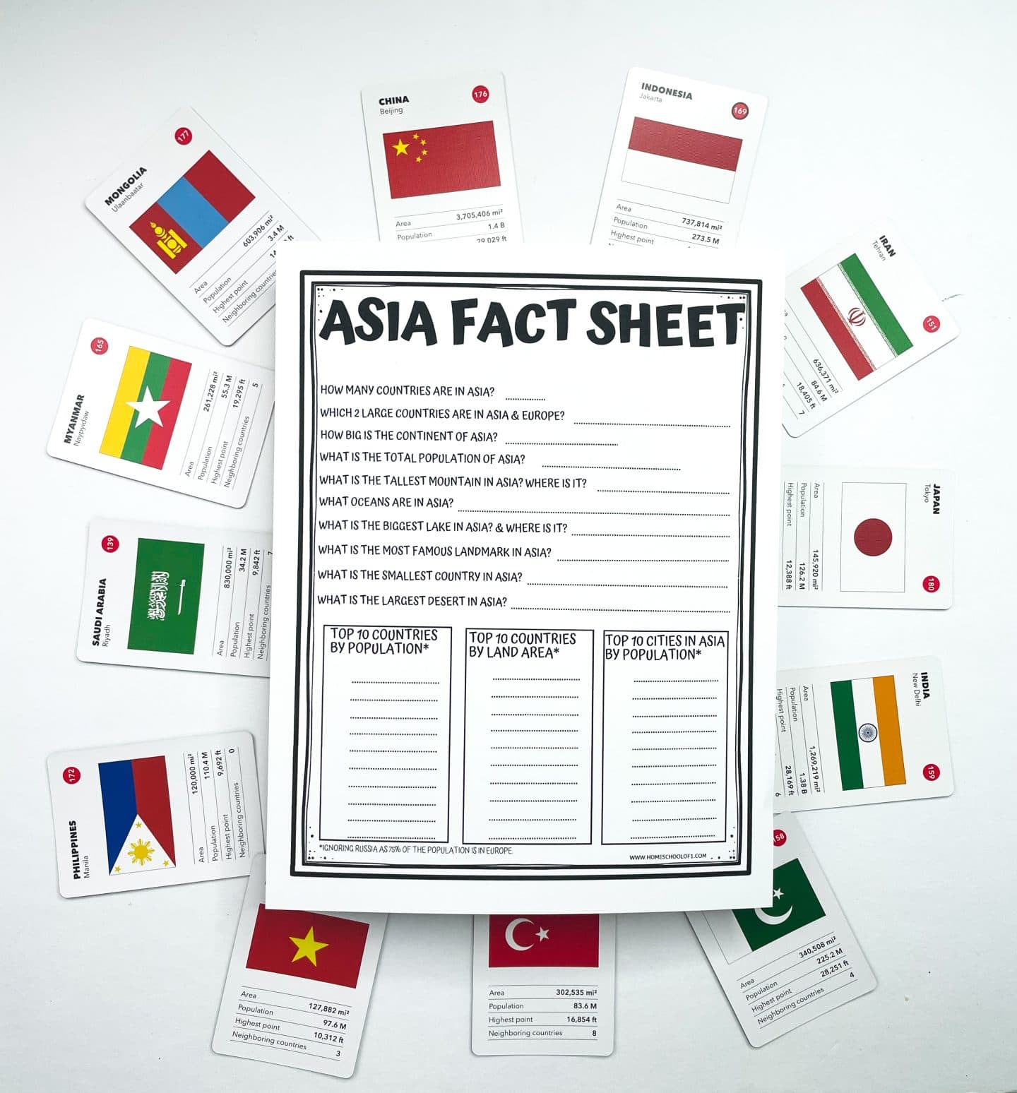
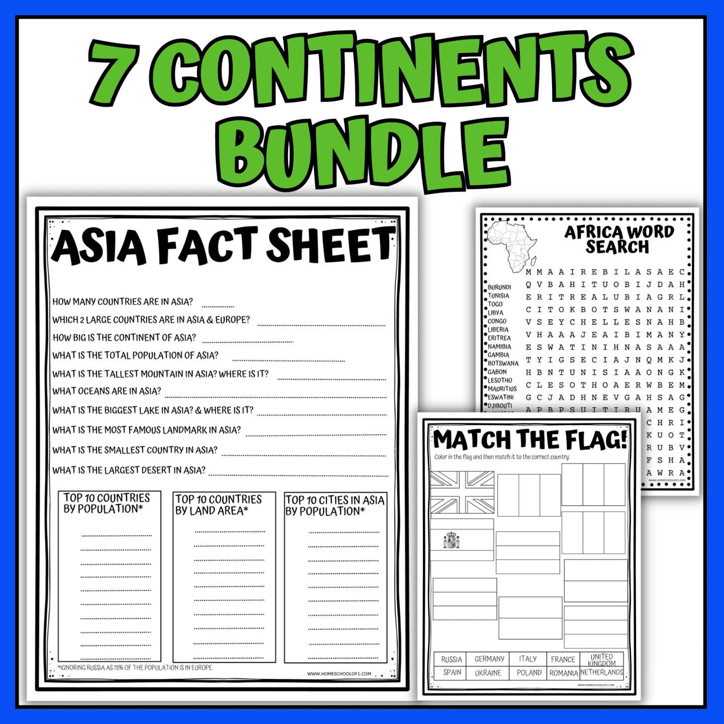
Asia Continent Fact Sheet
This Asia continent fact sheet worksheet helps students review key geography information through short-answer questions and reference lists.
The worksheet includes questions about Asia’s size, population, major landmarks, rivers, deserts, and bordering oceans, along with space to list the largest countries and cities.
It works well as a quick assessment, review activity, or independent geography assignment for upper elementary and middle school students.
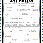
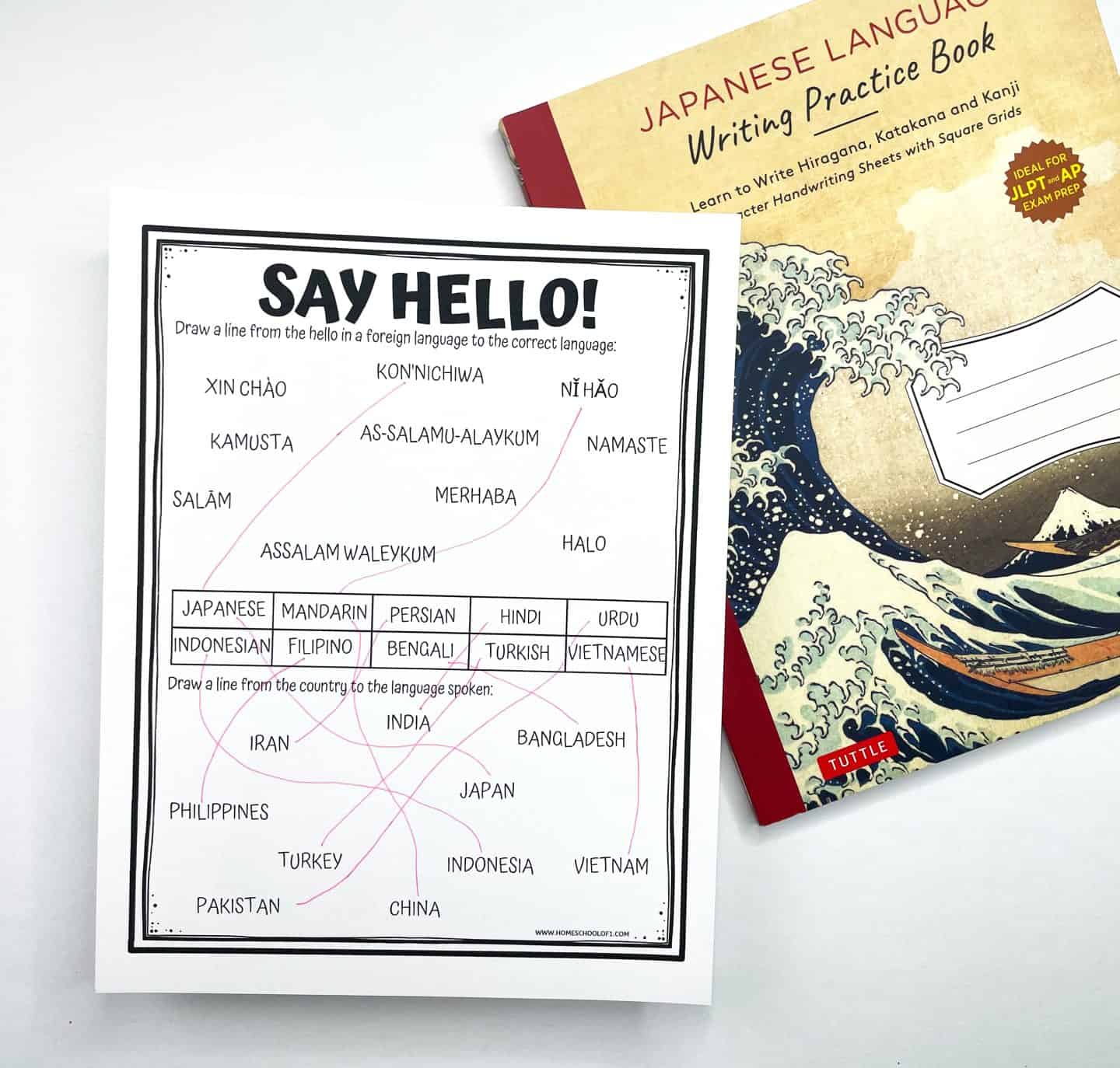
Learn to Say Hello in Asian Languages
This language matching worksheet introduces students to greetings from different Asian languages through a simple labeling activity.
Students match each greeting to the correct language and country, encouraging cultural awareness and careful reading rather than memorization.
The activity works well as a short extension to geography lessons or as a quick, low-prep enrichment worksheet. If your child shows interest in Japan, adding a Japanese language curriculum can help extend the learning naturally.
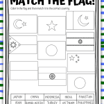
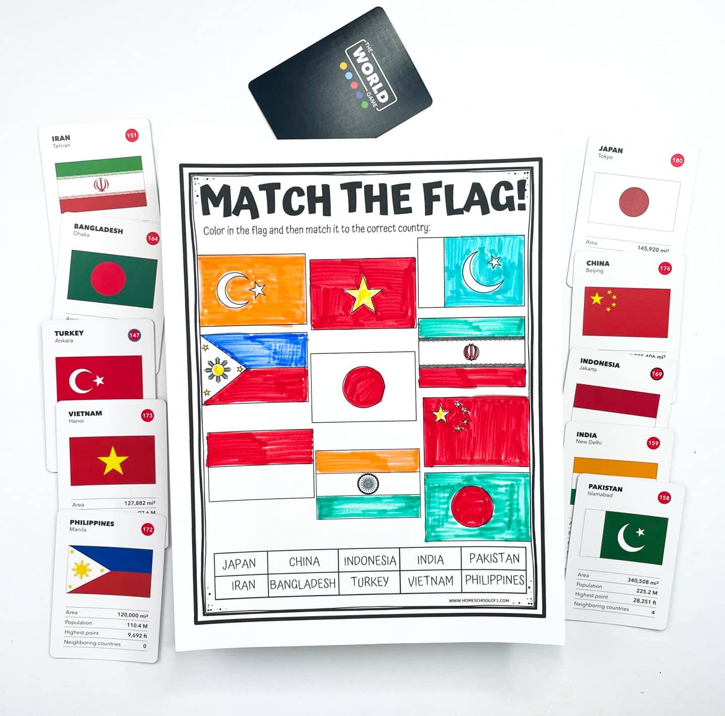
Match the Flag to the Country Worksheet
This flag-matching worksheet helps students identify Asian countries by matching each flag to the correct country.
Students color the flags and draw a line to connect each one to its matching country, reinforcing visual recognition and geography skills.
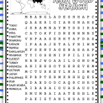
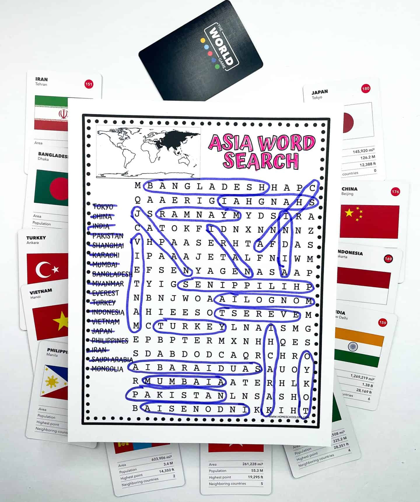
Asia Word Search
This Asia word search worksheet reinforces country and city names through a structured vocabulary puzzle.
Students search for geography-related words hidden in multiple directions, making it a useful review activity for early finishers, independent work, or low-prep geography lessons.
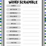
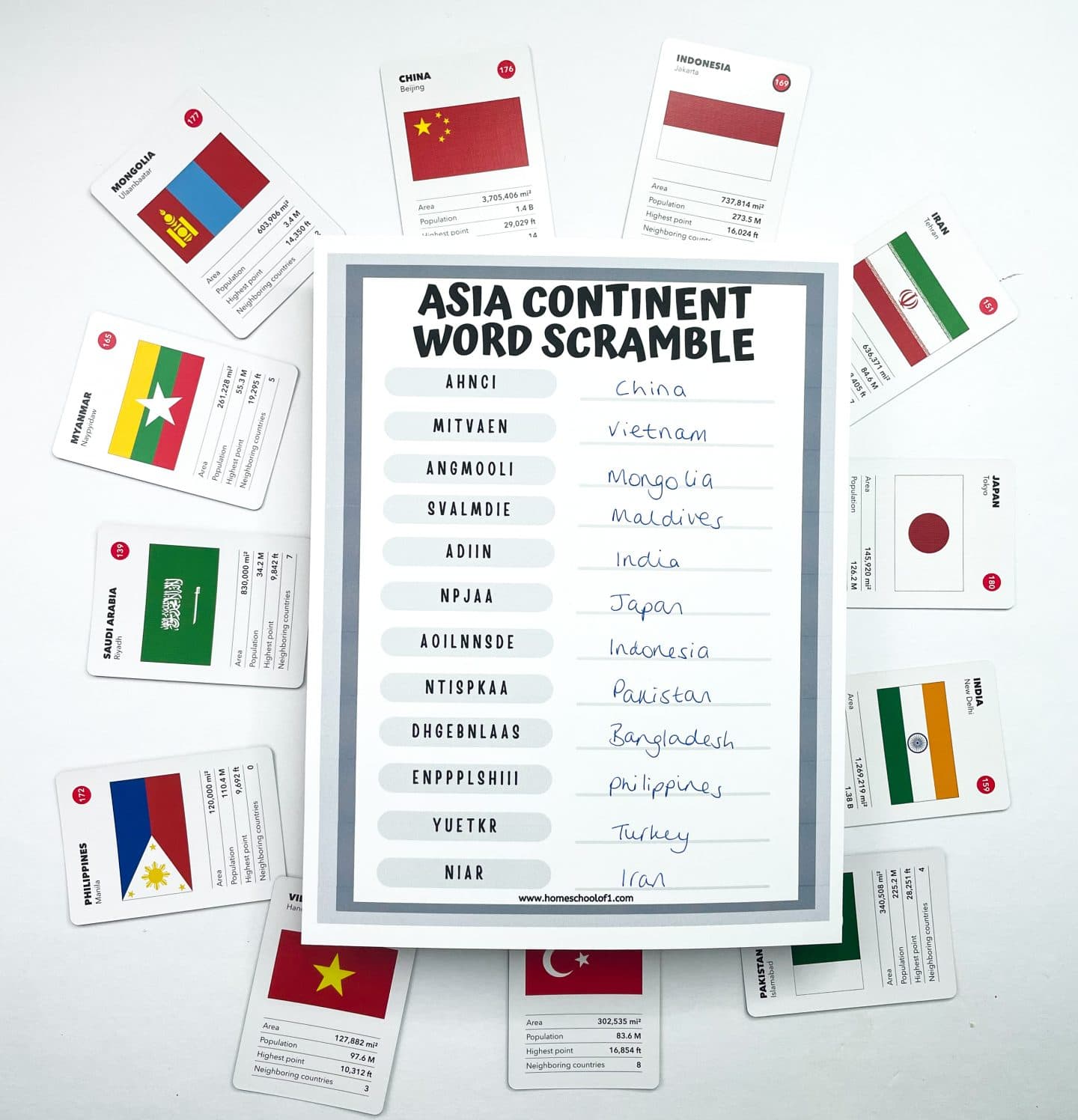
Asia Word Scramble
This word scramble worksheet challenges students to unscramble country names from across the continent using spelling and logic skills.
All of the scrambled words are Asian countries, with no word bank provided, making it a good option for review or independent practice. An answer sheet is included with the printable.
Books About Asia for Kids
Pairing worksheets with stories is one of my favorite ways to make geography stick. These books are set in different parts of Asia and help kids connect places on the map with real people, cultures, and experiences.
The Great Wall of Lucy Wu follows Lucy as she navigates family expectations, friendship, and identity, all while learning more about her Chinese heritage. It’s a great choice for discussions about belonging.
Where the Mountain Meets the Moon is a book kids tend to remember. It blends adventure and Chinese folklore in a way that feels magical without being overwhelming, especially for strong elementary readers.
Ichero introduces life in Japan through the eyes of a young boy. It’s gentle, thoughtful, and works well for talking about everyday life in another country.
Asha and the Spirit Bird takes readers on a journey across India as Asha searches for her father. The story naturally weaves in Indian landscapes and traditions while keeping the focus on courage and hope.
The Bridge Home is a more emotional read, following two sisters living on the streets of India. It’s best for older elementary or middle school students and opens the door to meaningful conversations.
Amal Unbound tells the story of a Pakistani girl determined to continue her education despite enormous obstacles. It’s powerful, accessible, and often sparks great discussions about education and fairness.
WANT ALL OF THE CONTINENTS WORKSHEETS NOW?
Additional Asia Printables
If you’re looking to go a little deeper after the main worksheets, these printables focus on specific places and landmarks across Asia. They work well as follow-up activities, mini research projects, or extension lessons for kids who want to explore one topic in more detail.
- Great Wall of China worksheet – A focused activity that looks at why the Great Wall was built and why it still matters today, without overwhelming students with too much detail.
- Taj Mahal coloring page – A gentle way to introduce the history and significance of the Taj Mahal while giving kids time to slow down and engage with the architecture.
- Petra worksheet – Explores the ancient city of Petra in Jordan, including its rock-cut buildings and role in early trade routes. This one works especially well alongside map work.
- Hanging Gardens of Babylon worksheet – Looks at the mystery surrounding this ancient wonder and what historians believe it may have been like, making it a good discussion starter.
- Christmas in the Philippines worksheets – A cultural extension that introduces holiday traditions in the Philippines, offering a different way to connect geography with everyday life.
Get Your Free Printable Asia Worksheet Here!
Ready to grab your free printable? Just pop your name and email into the form below, and it’s all yours!
Tip: Use a personal email address (like Gmail), school or work emails sometimes filter printable links.
If you don’t see the form below, click here to get the free PDF.
Last Updated on 6 January 2026 by Clare Brown