Free Europe Worksheets for Kids

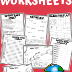
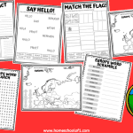

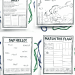
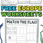
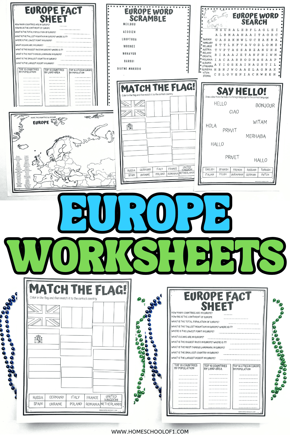
These free Europe worksheets for kids are a fun way to explore countries, flags, maps, and cultures across the continent.
Designed for elementary and middle school students, the printable activities include map labeling, country research, puzzles, and language worksheets that make geography more engaging.
Whether you’re homeschooling or teaching in the classroom, these hands-on printables help reinforce geography skills while encouraging kids to discover more about Europe.
**This post may contain affiliate links. As an Amazon Associate and a participant in other affiliate programs, I earn a commission on qualifying purchases.**
Map of Europe Printable
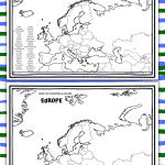
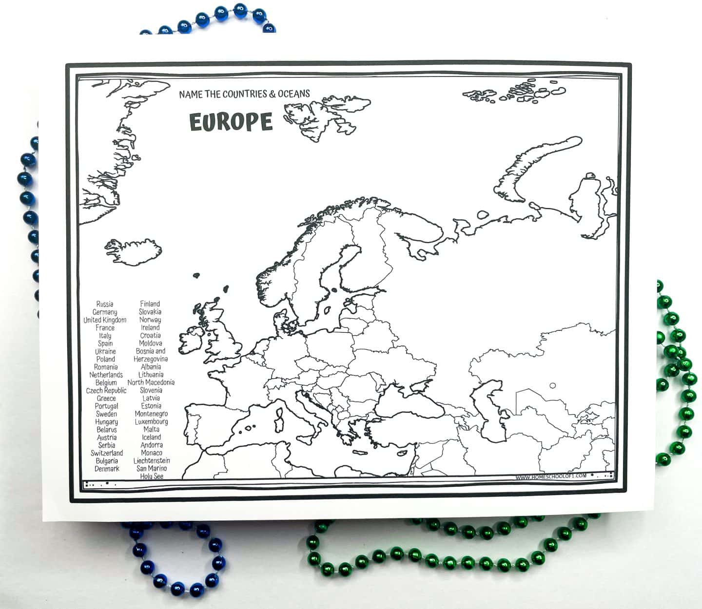
Europe is made up of 44 countries, and this printable includes two versions of the map to support different skill levels.
One has the country names listed on the side for easier labeling, while the other leaves it blank for a bit more of a challenge.
Kids can either color in each country or label them directly on the map.
If you want to build on this activity, the Mapology World Map Game is a great hands-on resource, it’s one of our favorite geography board games for reinforcing country names and locations.
Europe Facts Worksheet
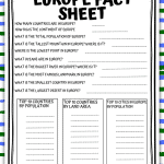
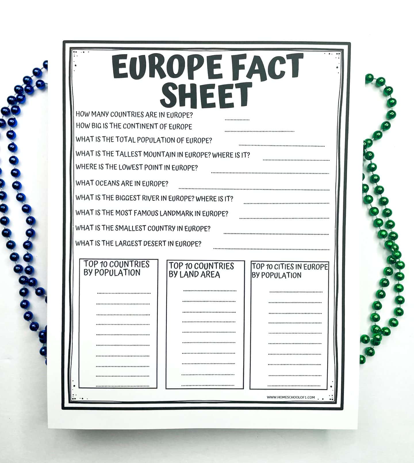
This printable fact sheet includes 10 geography questions to help kids learn more about Europe. It also includes bonus lists of the 10 largest countries by land area, the most populous countries, and the largest cities.
Quick facts about Europe:
- How many countries are in Europe? 44
- How big is the continent of Europe? 4.066 million mi²
- What is the total population of Europe? 746.4 million
- What is the tallest mountain in Europe? Where is it? Mount Elbrus, Russia
- What is the lowest point in Europe? Where is it? Caspian Sea, bordering Azerbaijan, Russia, Kazakhstan, & Iran.
- What oceans are in Europe? Atlantic and Arctic Oceans.
- What is the biggest river in Europe? Where is it? Volga River, Russia
- What is the main currency in Europe? Euro
- What is the smallest country in Europe? Vatican City/ Holy See.
- What is the largest desert in Europe? The Oltenian Sahara, Romania.
This is a great starting point for a Europe unit study, kids can use it for research, trivia, or as a jumping-off point for mapping activities. You can also use a country randomizer to pick a country to research or present, which keeps lessons varied and a bit more engaging.
European Countries by Population
- Russia
- Germany
- United Kingdom
- France
- Italy
- Spain
- Ukraine
- Poland
- Romania
- Netherlands
Biggest European Countries by Land Area
- Russia
- Ukraine
- France
- Spain
- Sweden
- Germany
- Finland
- Norway
- Poland
- Italy
Largest Cities in Europe by Population
- Moscow, Russia
- London, United Kingdom
- Saint Petersburg, Russia
- Berlin, Germany
- Madrid, Spain
- Kyiv, Ukraine
- Rome, Italy
- Paris, France
- Bucharest, Romania
- Minsk, Belarus
Want to take geography beyond the worksheet?
The World card game is a fun way to reinforce what kids are learning about countries, capitals, and flags, perfect as a quick review or travel-themed game night.
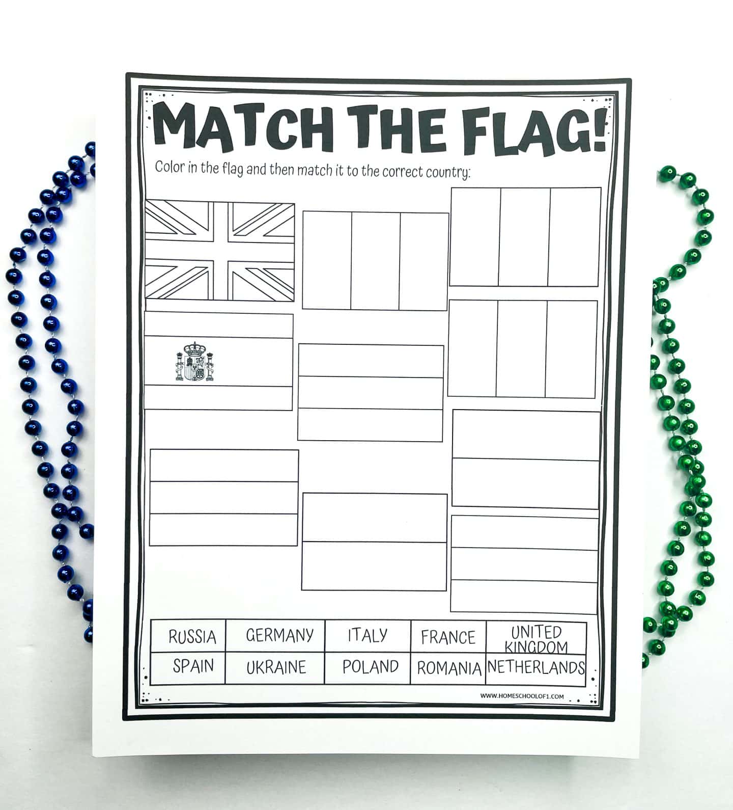
European Flags Worksheet
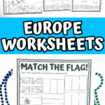
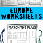
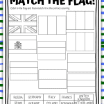
This coloring and matching activity helps kids become more familiar with European flags. They’ll research the correct colors for each flag, color them in, and then draw a line to match each flag to the correct country. It’s a great way to reinforce geography, color recognition, and map skills all in one.
The country flags included are:
- Russia
- Germany
- France
- Italy
- United Kingdom
- Ukraine
- Netherlands
- Poland
- Spain
- Romania
For extra practice, the 100 Pics Flag Card Game is another fun way to test knowledge, can your kids identify the country just by its flag?
Countries of Europe Word Search
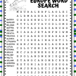
This word search is a great way for kids to reinforce their knowledge of European countries while practicing spelling and visual scanning skills.
The 18 country names are hidden in every direction. Horizontally, vertically, diagonally, and even backwards, so it’s a bit of a challenge, but still totally doable with a little focus.
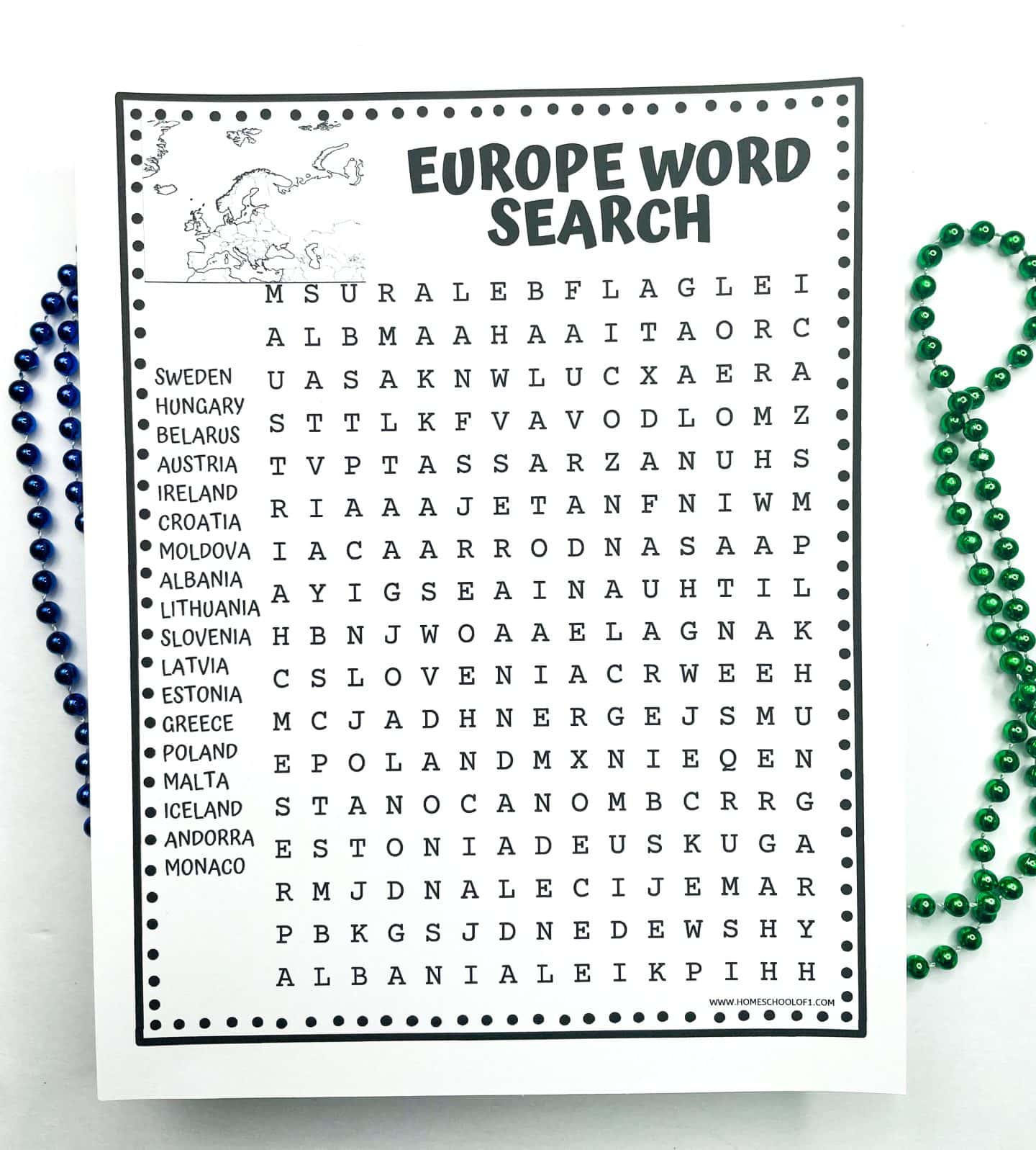
Word search tip: Use a highlighter or circle the words as you find them, since some letters are used in more than one word. (And yes, the answer sheet is included!)
Countries to find:
- Sweden
- Hungary
- Belarus
- Austria
- Ireland
- Croatia
- Moldova
- Albania
- Lithuania
- Slovenia
- Latvia
- Estonia
- Greece
- Poland
- Malta
- Iceland
- Andorra
- Monaco
Word search print outs make a great low-prep activity when your kids need a brain break that’s still educational.
Europe Word Scramble
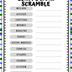
This free word scramble challenges kids to unscramble the names of 12 European countries, with no hints except that they’re all part of the continent.
It’s a great way to reinforce country names and spelling skills while keeping things fun and low-pressure.
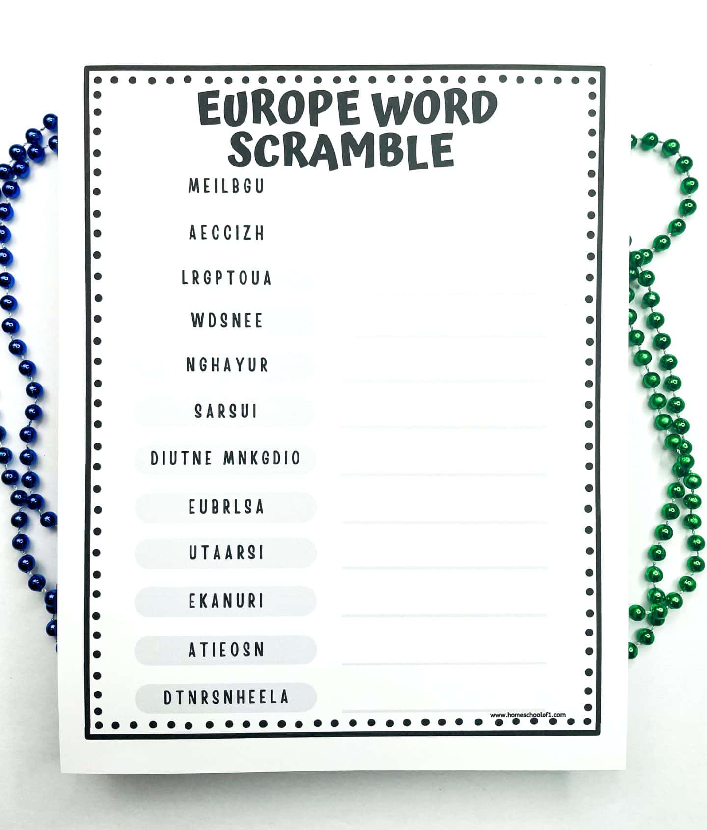
Countries included:
- Belgium
- Czechia
- Portugal
- Sweden
- Hungary
- Russia
- United Kingdom
- Belarus
- Austria
- Ukraine
- Estonia
- Netherlands
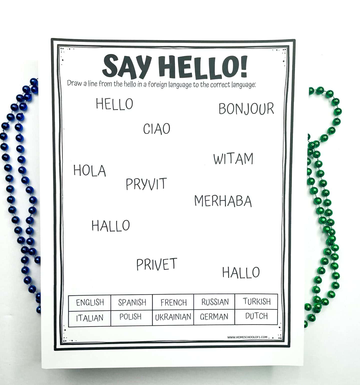
Say Hello in European Languages
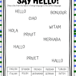
This European languages worksheet introduces 10 ways to say “hello” across Europe. Kids match each greeting to the correct language, helping them explore both language and culture in a simple, hands-on way. It’s a fun addition to any geography or world languages lesson.
Greetings included:
- Hello – English
- Merhaba – Turkish (Turkey)
- Ciao – Italian
- Bonjour – French
- Hallo – German
- Pryvit – Ukrainian
- Hola – Spanish
- Hallo – Dutch
- Witam – Polish
- Privet – Russian
Books About Europe for Kids
If you’re looking to bring European geography to life through stories, these geography books are a great companion to your worksheets. They’re fun, accessible, and help kids connect places with real-world landmarks, language, and culture.
- Mission London: A Scavenger Hunt Adventure – A fun and interactive way for kids to explore famous London landmarks while solving clues along the way.
- Lily & Baa in Paris – This sweet picture book introduces children to Paris through the eyes of a young traveler and her stuffed lamb.
- Russia Picture Dictionary Coloring Book – Combines language learning with coloring, making it easy for kids to pick up basic Russian words and cultural insights.
- Mishi and Mashi Go To Germany – A sibling duo travels through Germany, learning about traditions and landmarks in a kid-friendly format.
- Who was Leonardo da Vinci? – A great way to introduce kids to one of Europe’s most iconic historical figures, with connections to both Italian history and art.
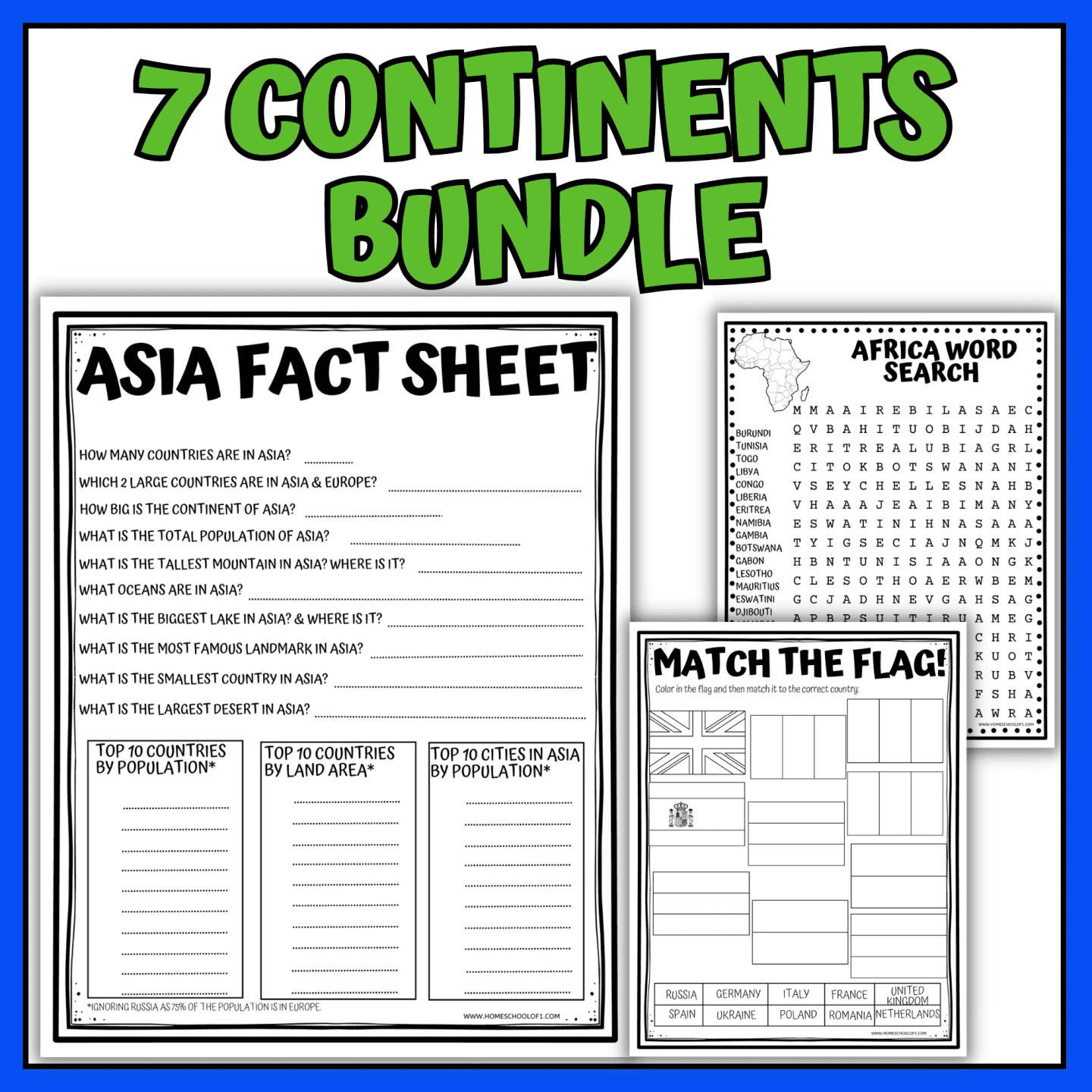
WANT ALL OF THE CONTINENTS WORKSHEETS NOW?
More Europe Geography Worksheets
These free Europe worksheets and geography printables are perfect for extending your lesson with activities about European history, culture, landmarks, and holidays.
Historical Landmarks:
- Colosseum worksheet – Learn about the architecture and history of Rome’s most famous amphitheater.
- Statue of Zeus at Olympia worksheet – Discover the myth and meaning behind one of Greece’s ancient wonders.
- Colossus of Rhodes worksheet – Explore the story behind this towering statue from the island of Rhodes.
- Temple of Artemis worksheet – A closer look at one of the Seven Wonders from ancient Ephesus.
- Mausoleum of Halicarnassus worksheet – Learn about this grand tomb and its cultural significance.
Country-Specific Coloring Pages:
- Ukraine coloring pages – Symbols and traditions to color while learning about Ukrainian culture.
- Scottish coloring pages – Highlighting the landscapes, traditions, and iconic imagery of Scotland.
- Wales coloring pages – Explore Welsh culture through themed pages perfect for early learners.
Holiday Worksheets by Country:
- Christmas in Italy coloring pages – Celebrate the season with Italian holiday customs and scenes.
- Christmas in the Netherlands worksheets – Learn about Sinterklaas, Dutch treats, and festive traditions.
- Christmas in Ireland worksheets – Includes Gaelic greetings and cultural traditions.
- Christmas in Germany worksheets – Dive into German holiday customs and basic German phrases.
Get Your Free Printable Europe Worksheets PDF Here!
Ready to grab your free printable? Just pop your name and email into the form below, and it’s all yours!
Tip: Use a personal email address (like Gmail), school or work emails sometimes filter printable links.
If you don’t see the form below, click here to get the free PDF.
Last Updated on 29 June 2026 by Clare Brown

Thank you for your hard work in creating these fun activities.